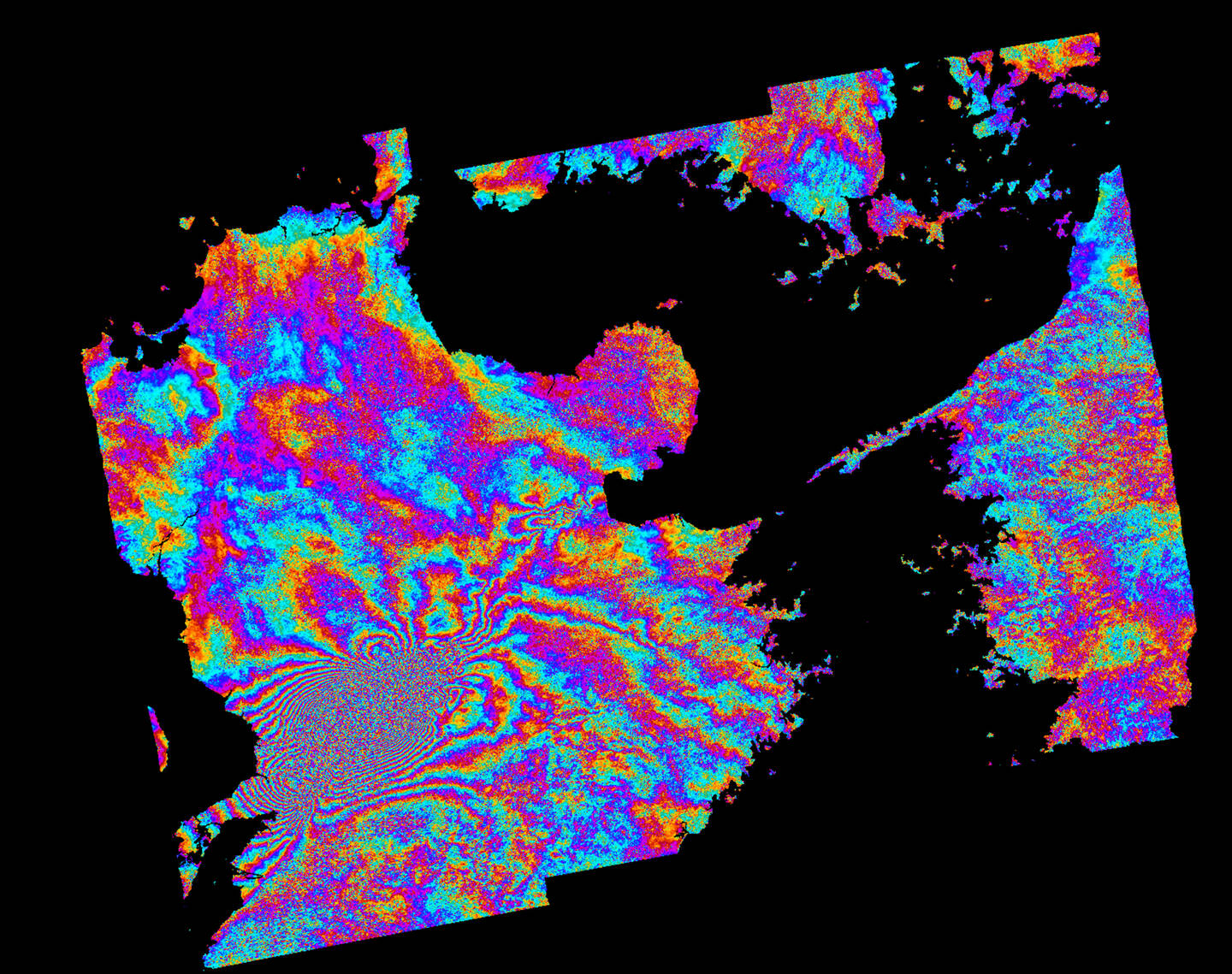
Contains modified Cernicus Sentinel-1A satellite data (2016), processed by German Space Agency (DLR) / European Space Agency (ESA) / Terradue, CC BY-SA 3.0 IGO.
This interferogram shows how the ground moved as a result of the two strong earthquakes that struck the city of Kumamoto, on the Japanese island of Kyushu, on April 14–15, 2016. The earthquakes killed at least fifty people and injured about three thousand others in total. Severe damage occurred in Kumamoto and Ōita Prefectures, with numerous structures collapsing and catching fire. More than forty-four thousand people were evacuated from their homes due to the disaster. The image was generated automatically on the Geohazards Exploitation Platform, which gives users direct access to large Earth-observation data sets for areas at risk of earthquakes or volcanic activity. May 12, 2016.
