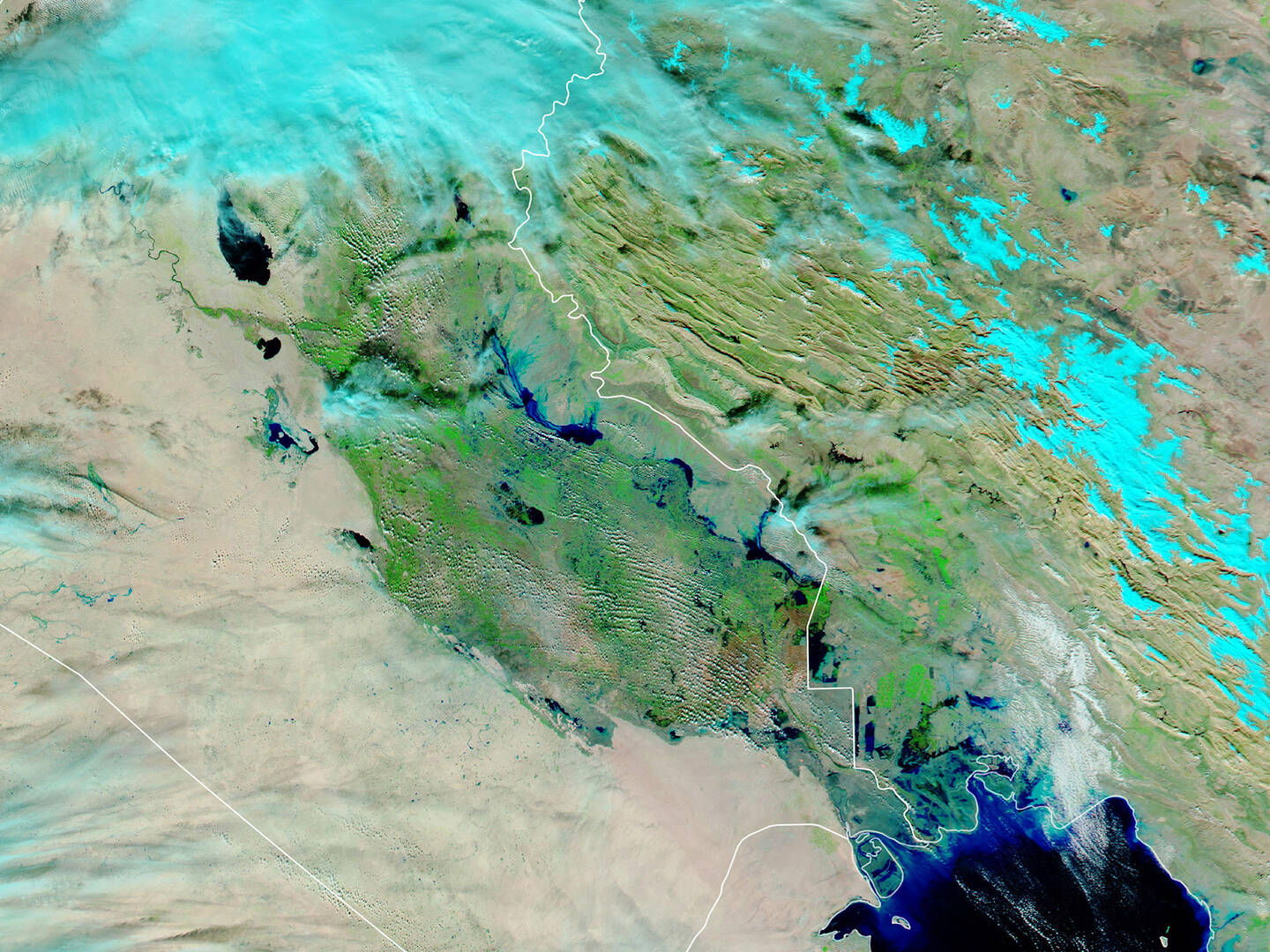
Images taken by the Moderate Resolution Imaging Spectroradiometer (MODIS) on NASA’s Aqua satellite. NASA Earth Observatory.
In late November 2018 torrential rains swept across northern and central Iraq, causing flash floods and widespread devastation. Using a combination of infrared and visible light, this false-color image shows water pooling in floodplains. Floodwater appears dark blue, saturated soil is light blue, vegetation is bright green, and bare ground is brown. November 27, 2018.