Government of India, National Remote Sensing Centre, Indian Space Research Organisation (ISRO), with assistance of Curator Rajib Nath.
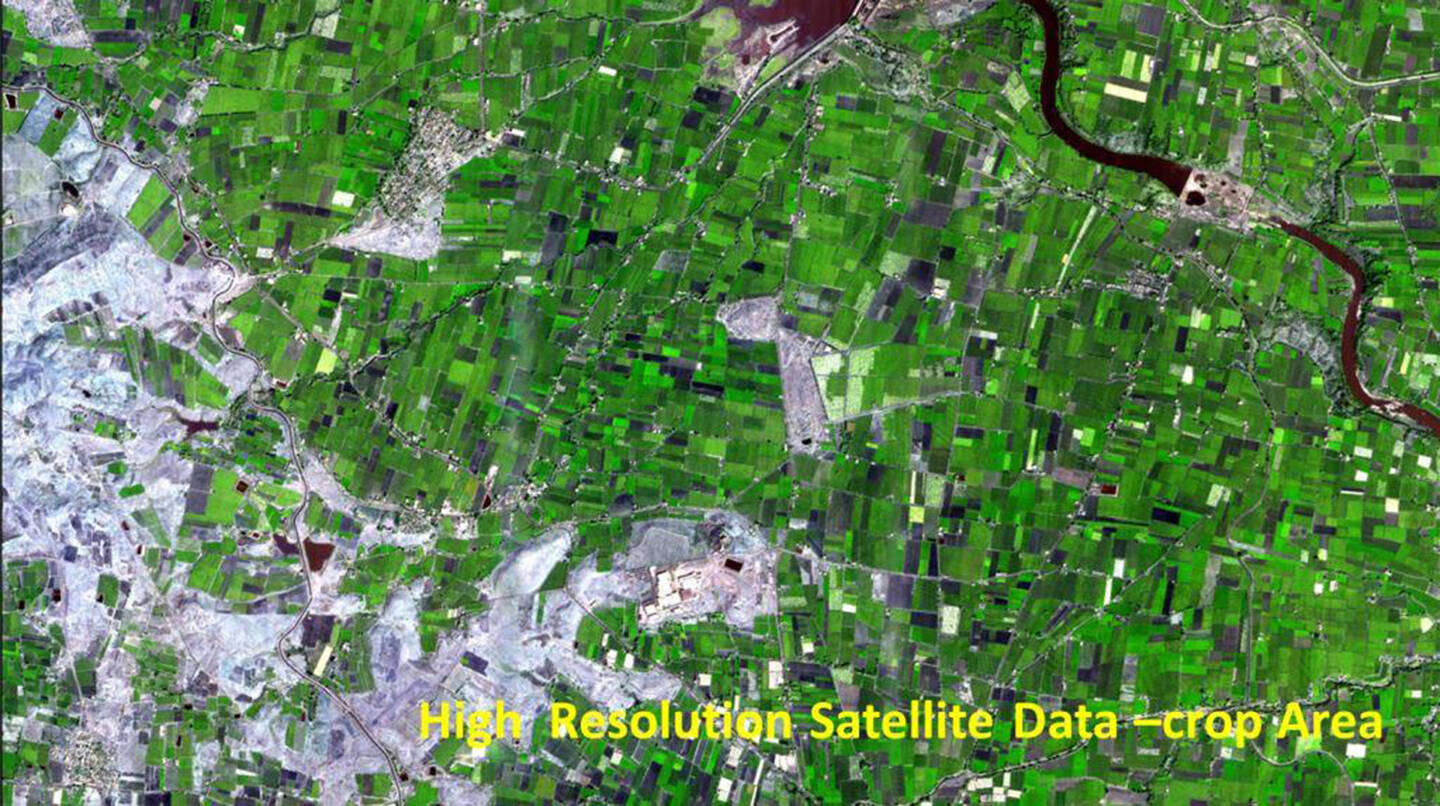
This satellite-derived image shows a seasonal crop pattern in India. It was created as part of experiments on estimating crop yields and net-sown crop area and agricultural drought assessment. Presently studies are in progress for a Crop Insurance Decision Support System (CIDSS), crop intensification, mapping and assessment of high-value crops, assessing agricultural drought vulnerability, and related subjects. Concepts for future agriculture applications in India include crop surveillance systems, local to regional crop scales, and user-friendly dashboards to help with decision making.